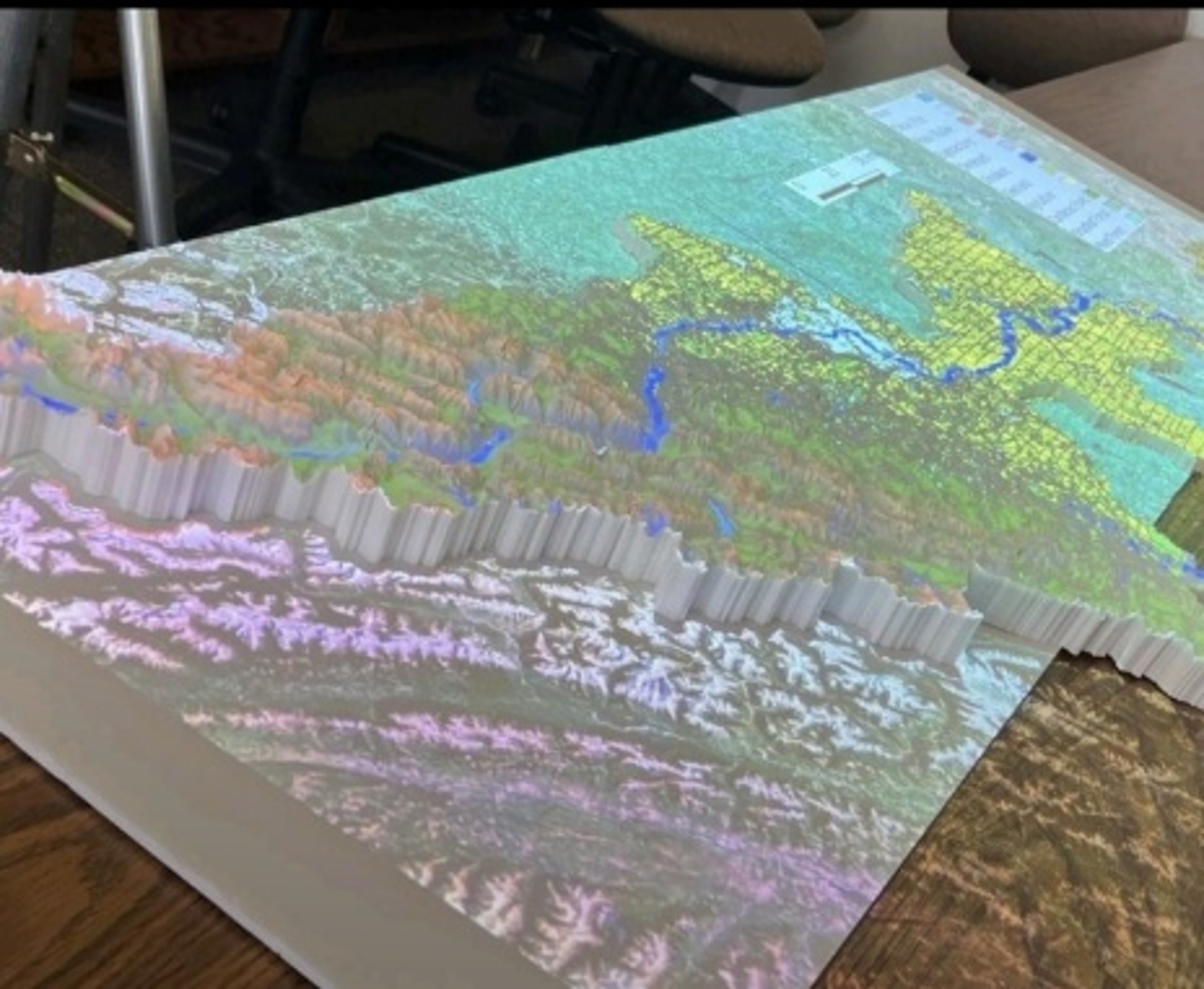
Beyond the Surface: How 3D Modeling and Mapping Projection emerges as another way of displaying Data
Introduction: Our Lifeline in Three Dimensions The Bow River Basin
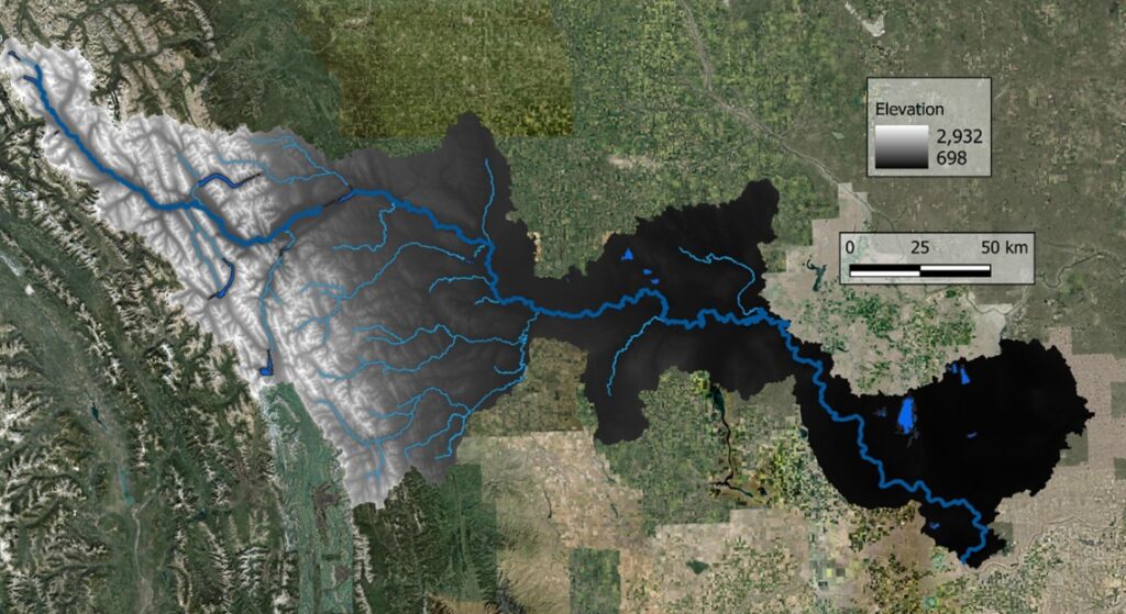
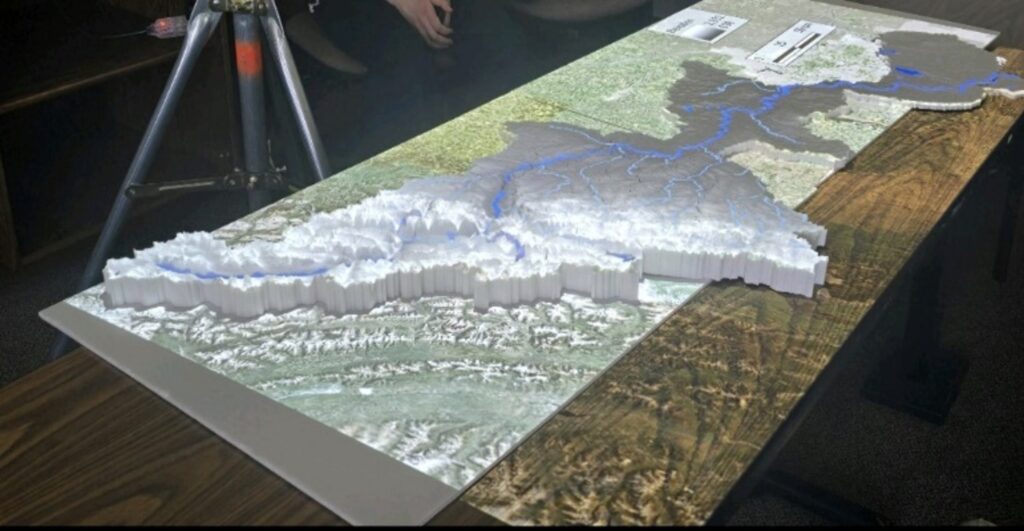
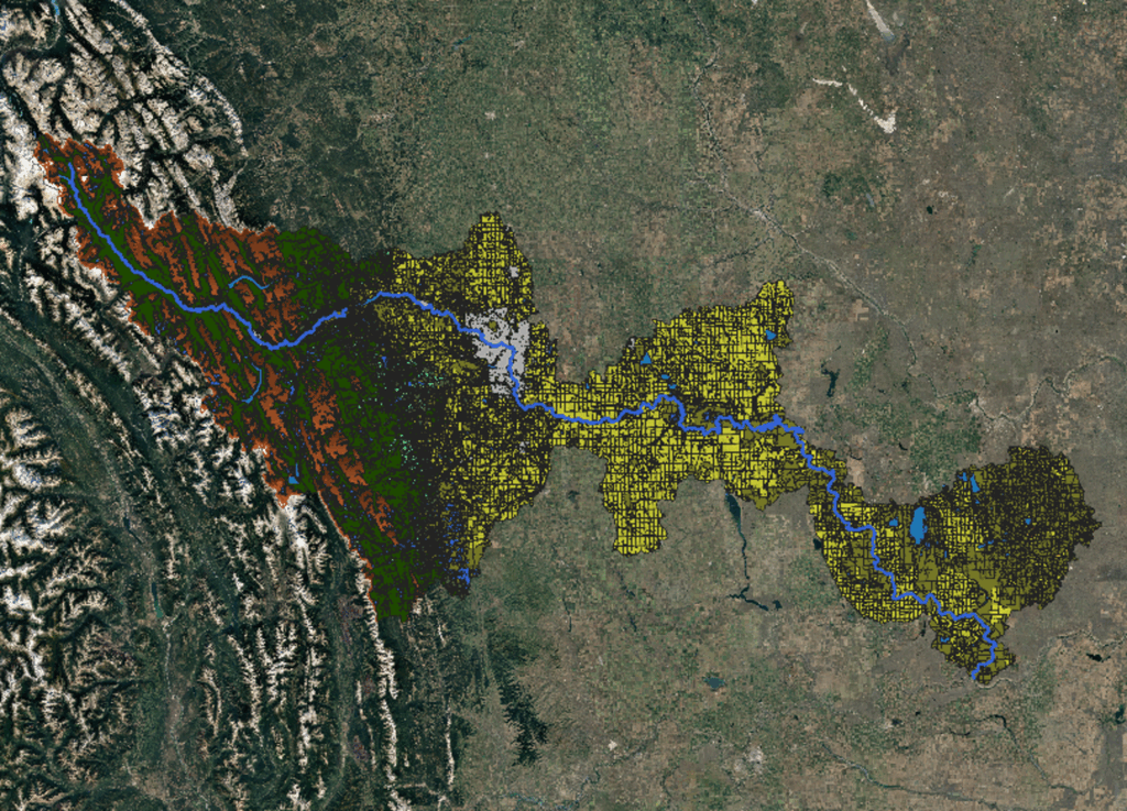

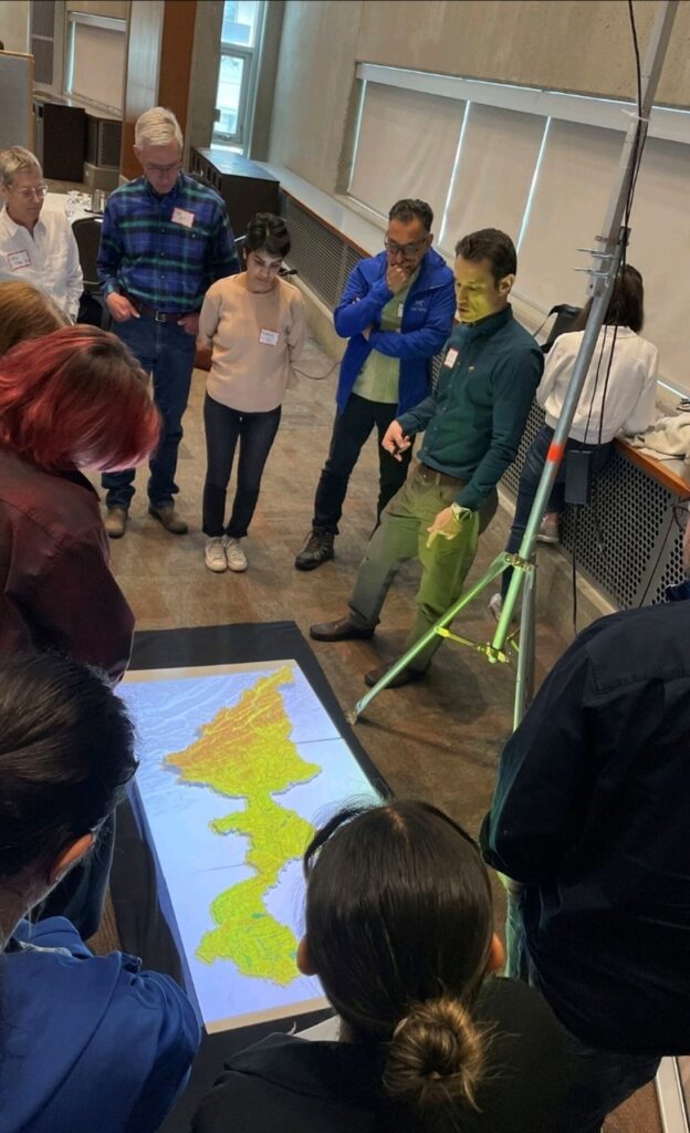

Introduction: Our Lifeline in Three Dimensions The Bow River Basin
Happy (belated) World Water Day 2025! 2025’s World Water Day
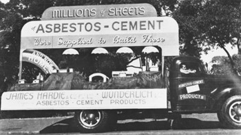
What is Asbestos? Asbestos. The word itself causes a knee-jerk
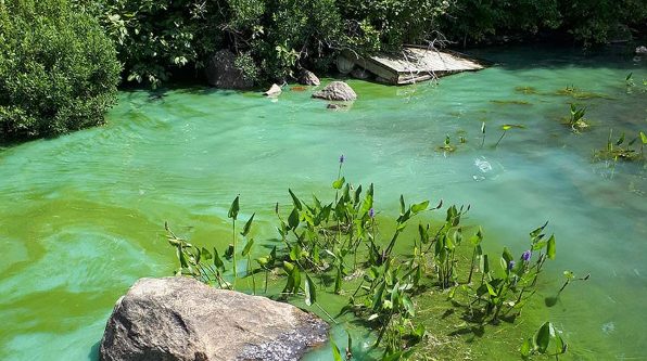
What is pathology? At its core and most basic definition,
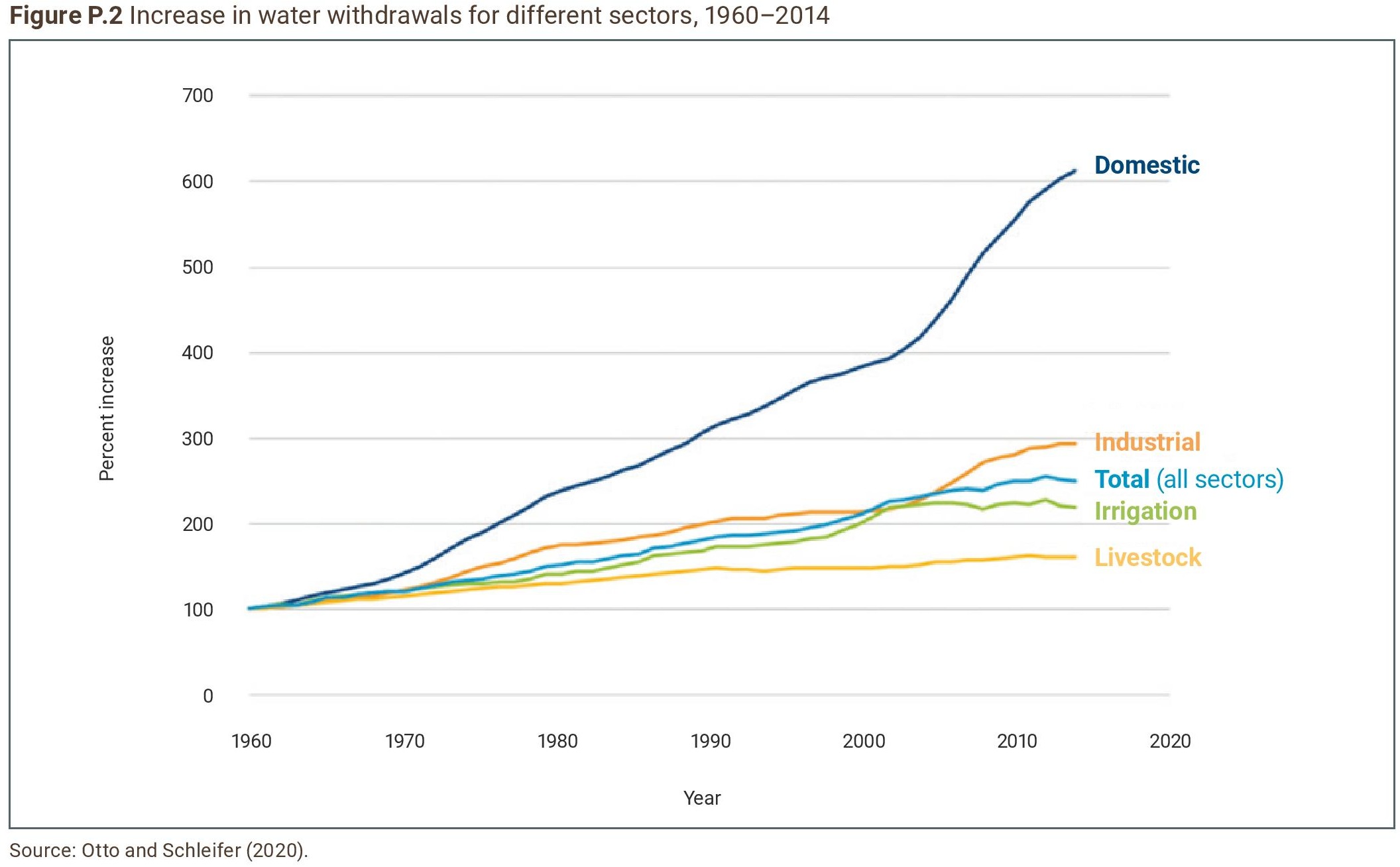
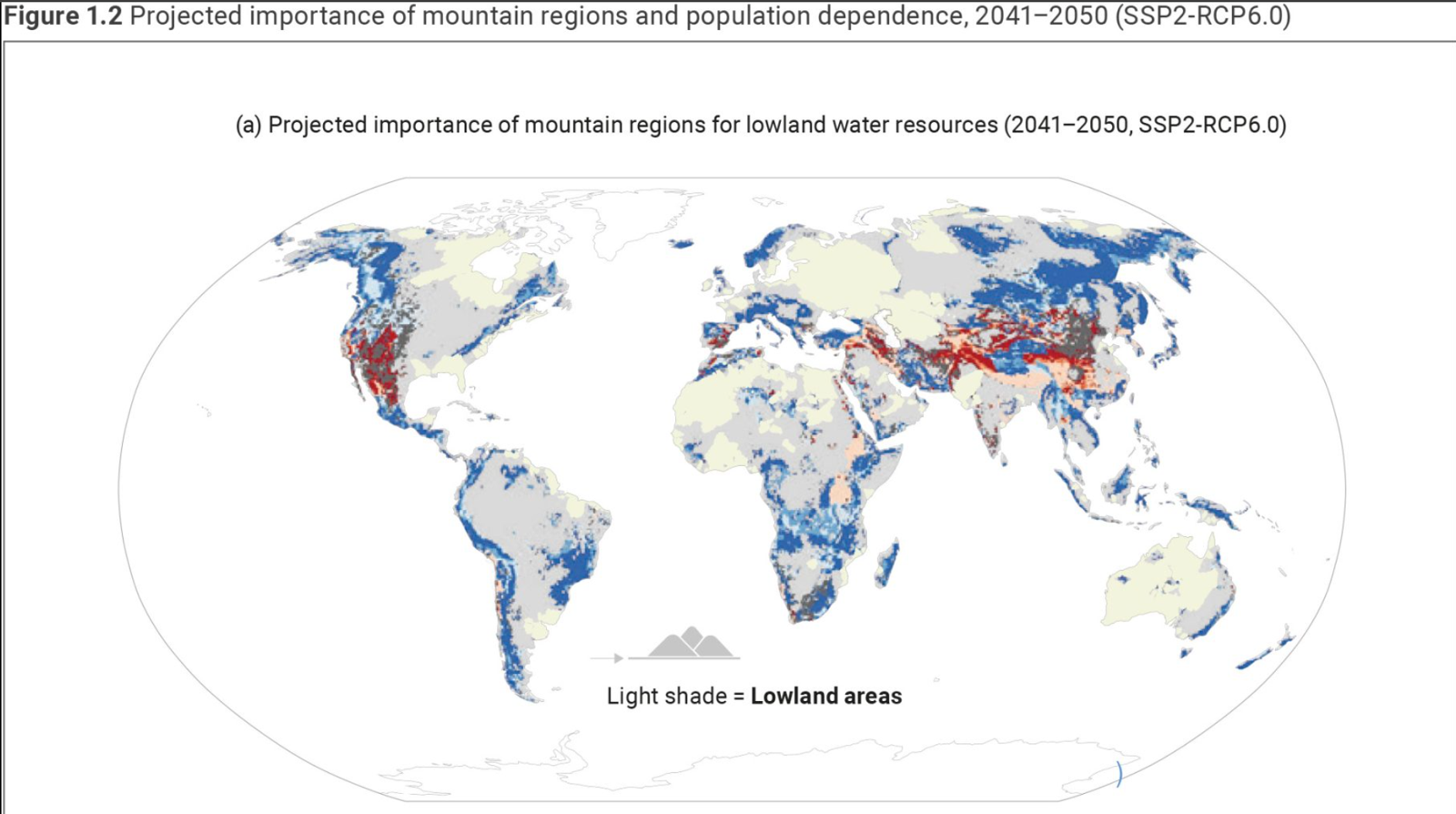
As I settle down to read the latest UN Water
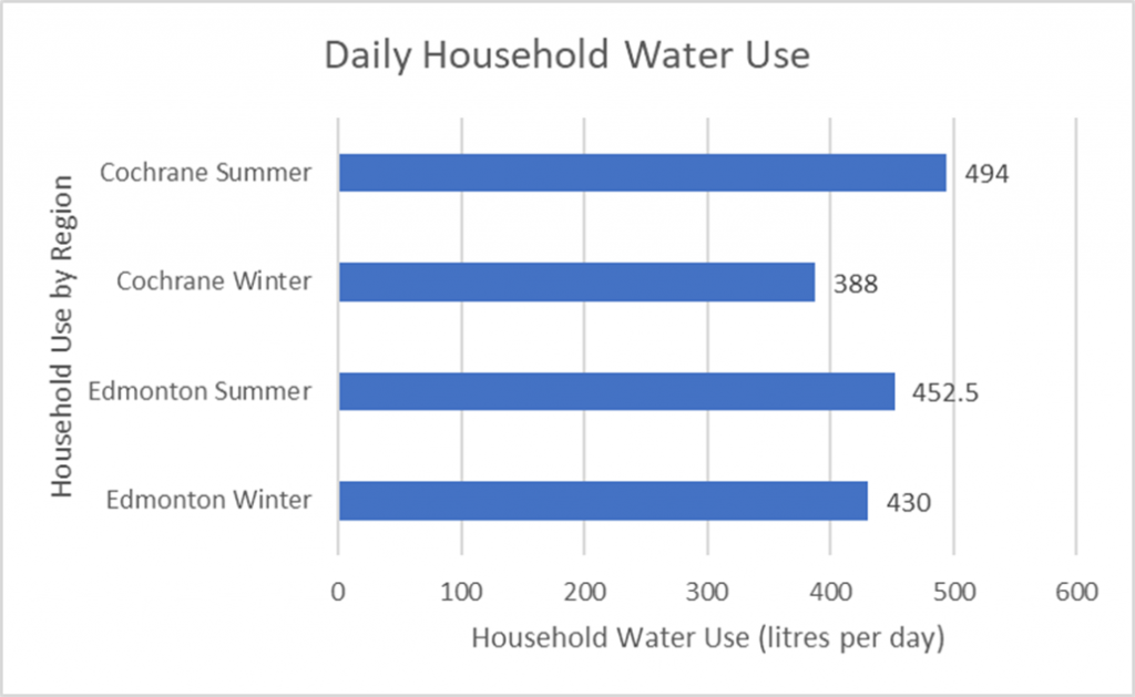
Access to water, water use, and water conservation are of